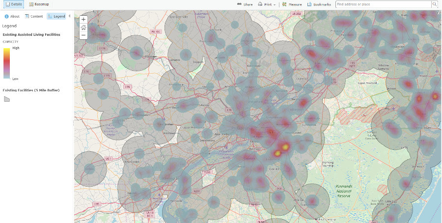
This project was a GIS data analysis project that involved finding, manipulating, and analyzing spatial and non-spatial data associated with assisted living facilities in Pennsylvania, Delaware, and New Jersey. The goal of this project was to identify potential locations to build new assisted living facilies. Factors such as median income, distance from existing facilities, facility occupancy rates, and number of elderly with suitable incomes were used to identify ideal target areas.
Note: Further images and details are witheld from this writeup to prevent exposing any confidential work.
Technologies Used
The analysis and mainpulation of the spatial data was done using Esri's ArcGIS for Desktop and Python API. Additionaly an open source reverse geocoding solution was used to convert addresses to latitude/longitude coordinates, for spatial analysis:
- ArcGIS Online
- ArcGIS for Desktop
- Python